City Atlas
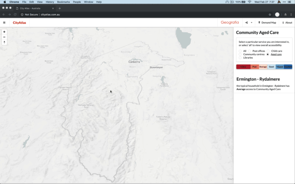
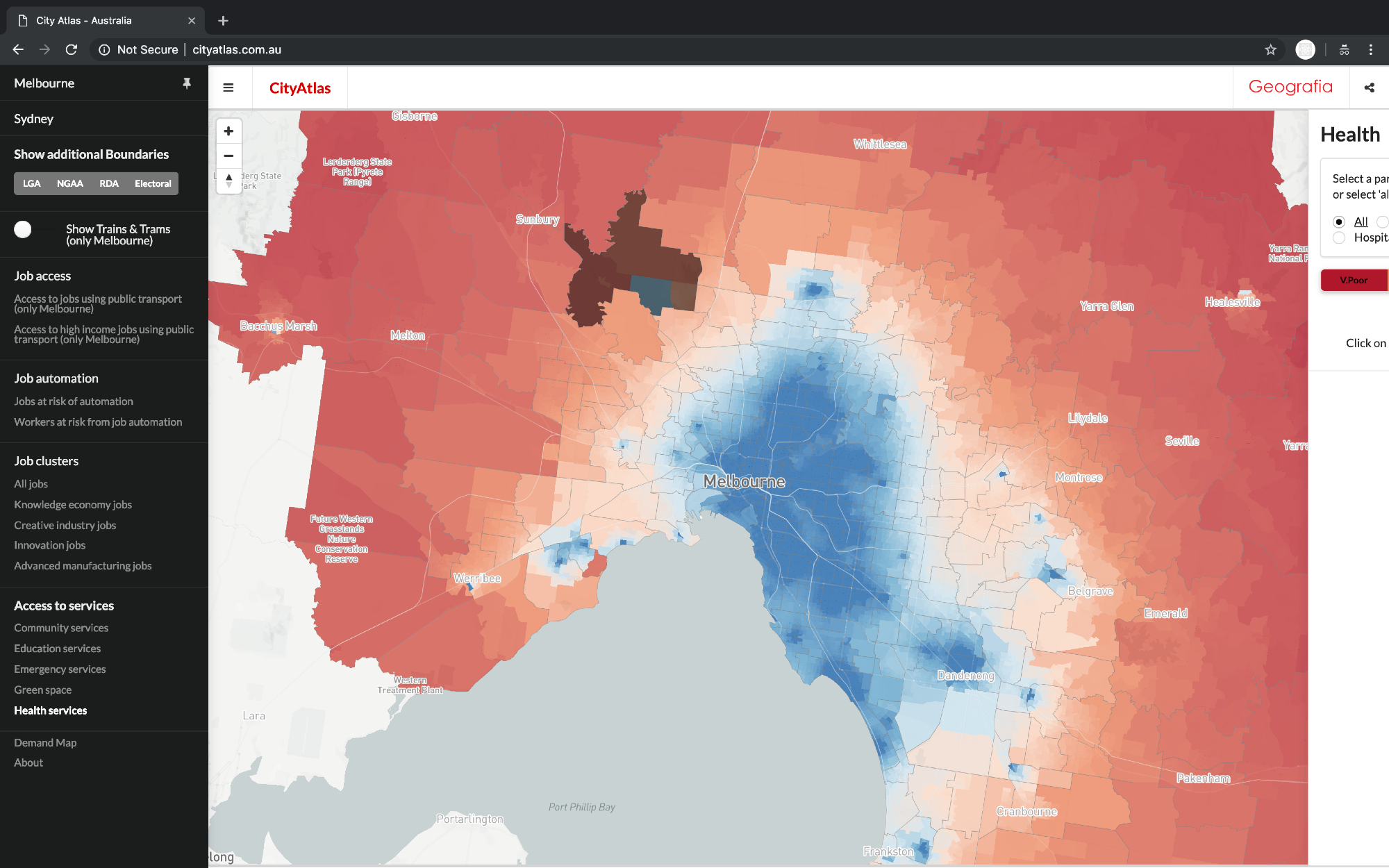
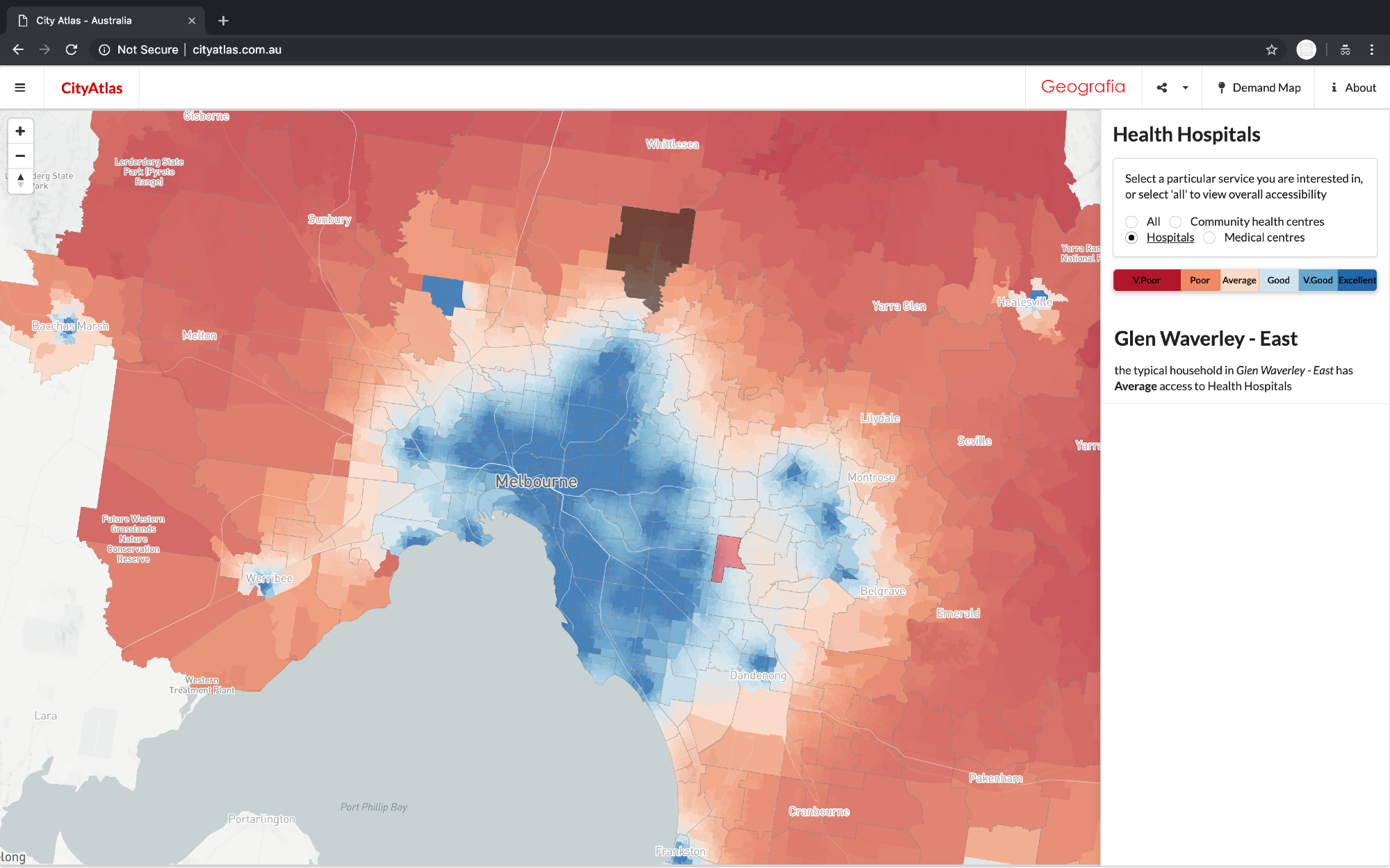
The City Atlas is a project exploring spatial patterns across metropolitan areas. It is designed to illustrate our cities’ current and future employment and service accessibility. You can look at how easy it is to get to jobs by public transport; the effect of automation on job availability; the concentration of jobs, including knowledge jobs; and how well serviced you are, if you live in different parts of the city.
View website